CoCoNet - Co-creative Cohabitation Network
For advancing the transformation of urban streetscapes, CoCoNet aims to provide an integrated modelling-supported approach to reveal synergies between mobility, climate adaptation, and biodiversity measures, and to facilitate collaboration of different stakeholders for co-creating urban development solutions.
Cities are confronted with the conflicting targets of both providing sufficient living space and infrastructure while at the same time providing green and open space to mitigate climate change and biodiversity loss and to offer livable urban districts. For sustainable urban redevelopment, an integrated planning approach to urban streetscapes is needed, combining transportation modeling with the planning for other purposes, such as climate adaptation, noise reduction or biodiversity preservation. Thereby, Nature-based Solutions (NbS) that vegetation and unsealed soils can provide are the prerequisite for biodiversity, rainwater management, and amenities of urban open spaces. Although sophisticated analytical and design tools can inform the transformation from various perspectives, such resources are not widely embraced across stakeholders for co-creation of desired solutions.
- Highlight spatial potentials using integrated spatial modeling of mobility, soundscape, climate and ecological connectivity
- Develop, implement, and iteratively enhance an audiovisual simulation to support stakeholders in revealing synergies and creating optimal measures for restructuring the spaceIntegrate the soundscape into the communication and evaluation of the urban streetscape transformation
- Optimization modeling between modal shift and NbS regarding various objectives to develop rules for solution design
- Guidelines for policy and decision makers to create new inner-urban spatial potentials by restructuring the space
CoCoNet will provide a planning methodology directly applicable in the creation of vibrant, sustainable urban neighborhoods giving valuable support to policy and decision makers. Further, it will make socio-ecological aspects and the coexistence of humans and other organisms a central point in the urban planning process.
Funding:
SNF Grant (10DU--_224163 / 1)
Duration:
01.2025 - 12.2027
Research partners:
ETH Zurich: Dr. Ulrike Wissen Hayek (Lead Work packages ETH Zurich), Dr. Philipp Urech, Dr. Matthias Vollmer, Jonas Egeler, Prof. Dr. Adrienne Grêt-Regamey
TU Wien: Dr. Katrin Hagen (Project Lead), Dejan Coba , Prof. Dr. Susann Ahn, Prof. Dr. Thomas E. Hauck
TU München: Prof. Dr. Wolfgang Weisser, Meret Pundsack
yverkehrsplanung GmbH: Emanuel Selz, Mario Platzer, Simon Neumeier, Maximilian Reimann, Philipp Mueller
Publications:
- Planning of Landscape and Urban Systems (PLUS, 2025): Research Project “CoCoNet”
- Topology – Spring Semester 2025: Subtropical Blend
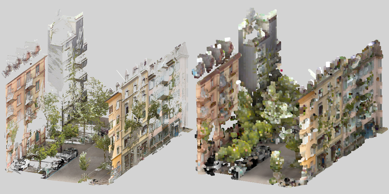
- Interactive 3D model. Point cloud model of the Gertrudstrasse. Source: data provided by GeoZ, edited and visualized by LVML)